A World of Possibilities: Introducing the Evergine.Cesium Addon
Introduction
In modern software development, especially within industrial and enterprise sectors, the need to visualize data in a real-world context is growing rapidly. From tracking assets across a continent to managing smart city infrastructure, applications increasingly require a geographic frame of reference. However, building a high-performance, interactive 3D globe from the ground up is a significant technical undertaking.
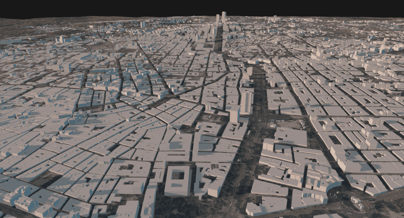
We’re excited to help our developers meet this challenge. As part of the latest Evergine release, we are introducing the Evergine.Cesium addon. Our goal is to provide a robust, well-integrated solution that brings planetary-scale rendering to the Evergine ecosystem.
This new addon enables you to build applications that require a global perspective, whether that’s a detailed digital twin, a professional training simulator, or an interactive data visualization tool. It’s a powerful new capability designed to work seamlessly within the C# and .NET environment you already know.
The Challenge of Rendering a Digital Earth
Integrating a 3D globe into an application is not a trivial task. The technical hurdles are significant and multifaceted, often requiring specialized expertise.
First, there is the sheer volume of data. A high-resolution model of the Earth, complete with terrain, satellite imagery, and 3D buildings, can easily measure in terabytes. It is impractical to load this much information into memory at once. Consequently, a robust streaming and level-of-detail (LOD) system is essential. This system must intelligently fetch only the data the user currently sees, dynamically adjusting quality based on the camera’s position.
Second, developers must handle complex coordinate system transformations. Accurately placing an object at a specific real-world location requires converting between geographic coordinates (latitude, longitude, altitude) and the engine’s 3D Cartesian coordinate system. This involves sophisticated mathematics to account for the Earth’s curvature, ensuring that objects remain correctly anchored as the user pans and zooms around the globe.
Finally, all of this must be accomplished while maintaining solid rendering performance. The constant loading, unloading, and rendering of new map sections puts significant strain on the application, and a poorly optimized system can quickly lead to a slow and unresponsive user experience. These combined challenges often divert significant development resources away from an application’s core features.
What Is Evergine.Cesium?
Evergine.Cesium is a first-party addon that provides a comprehensive solution to the challenges of global rendering. It is designed to act as a robust bridge between your Evergine application and the rich ecosystem of the Cesium platform. More than just a simple renderer, it is a full-featured integration that handles the entire geospatial data pipeline.
To bring this powerful capability to life, the addon orchestrates a sophisticated architecture. It leverages Cesium Native, the open-source C++ library, for its specialized ability to handle the complex mathematics and data structures unique to 3D geospatial content, such as the 3D Tiles format. Our engineering effort has focused on deeply integrating this core processing with Evergine’s own powerful rendering engine. Evergine.Cesium acts as the intelligent bridge, managing the flow of data into the scene graph, coordinating with the memory manager, and ultimately rendering the final, stunning visuals. This synergistic approach provides a robust, performant addon that feels like a natural extension of the engine, all exposed through a simple yet powerful C# API.
Core Capabilities
Evergine.Cesium provides a rich set of features designed to create dynamic, interactive, and data-driven geospatial applications.
- High-Performance Globe Rendering: The addon’s deep integration with Evergine’s rendering pipeline ensures that the high-speed output from the core geospatial engine results in a smooth and responsive experience for the end-user.
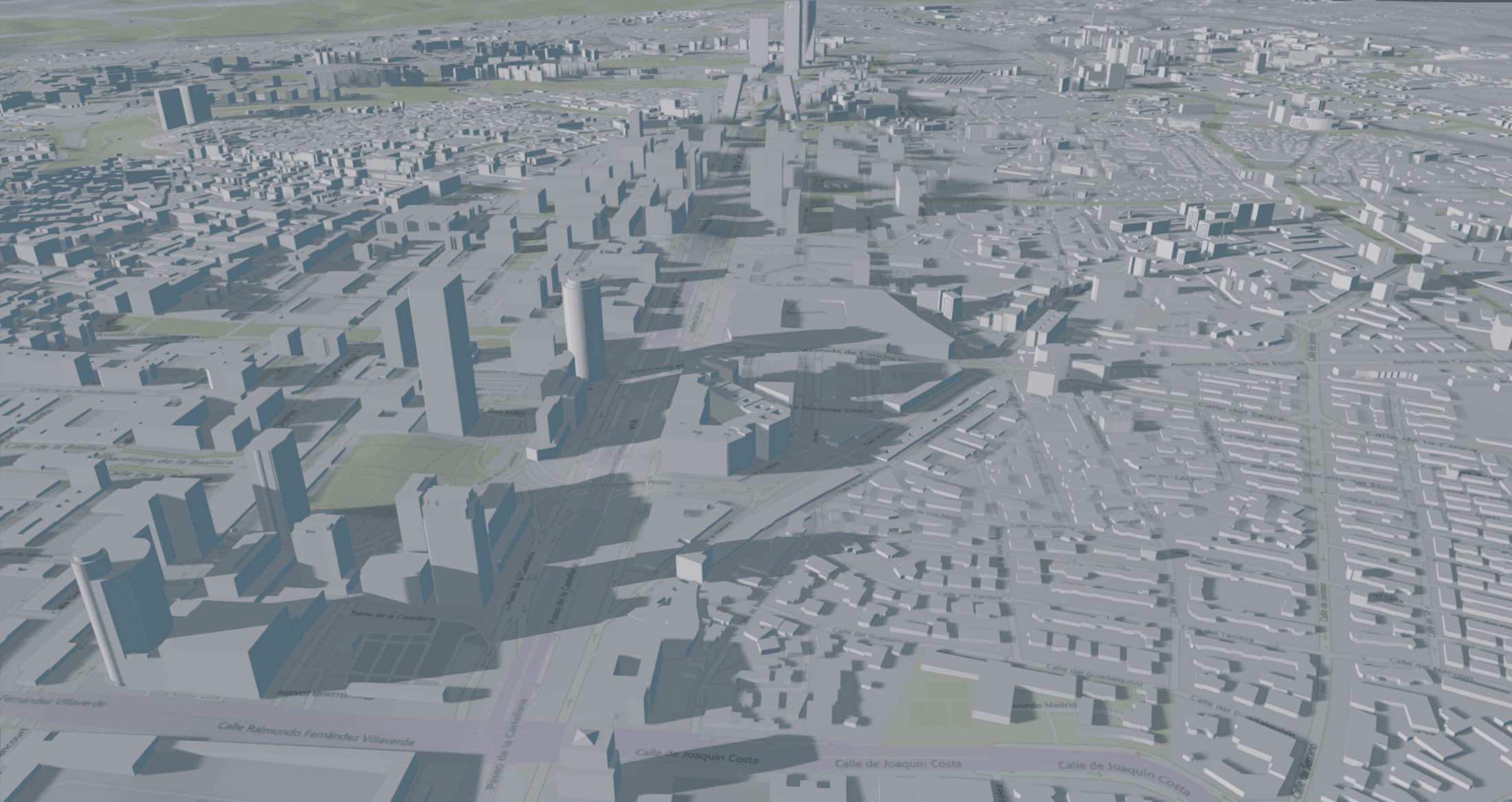
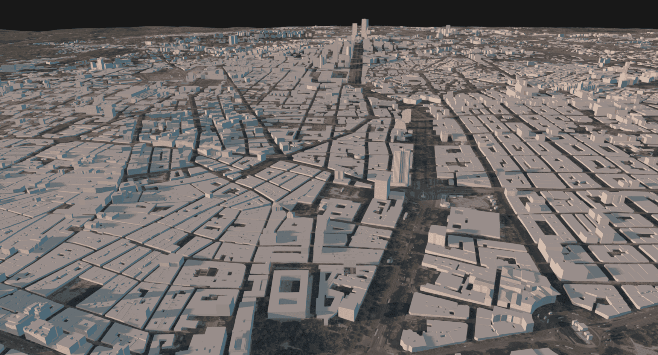
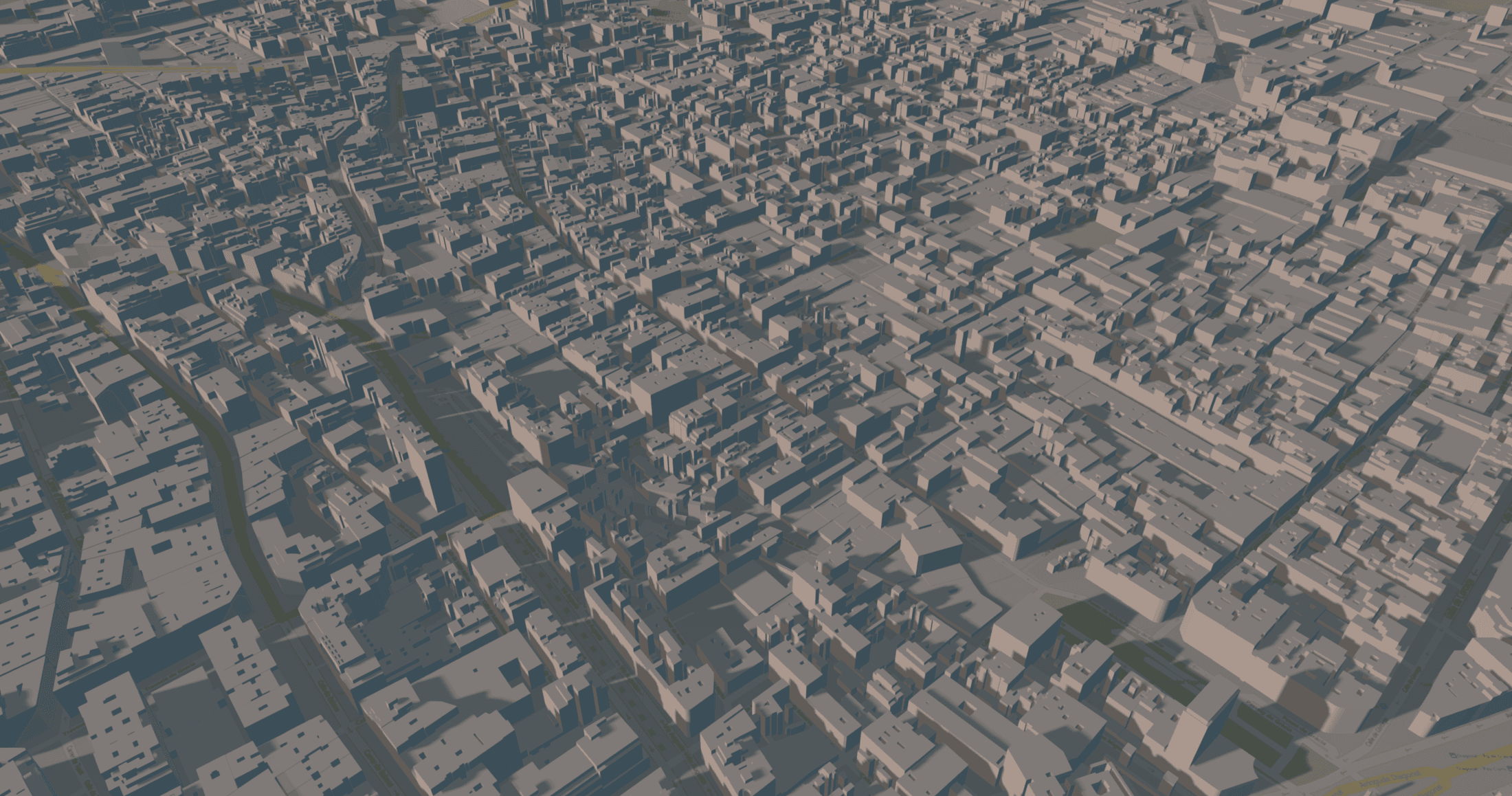
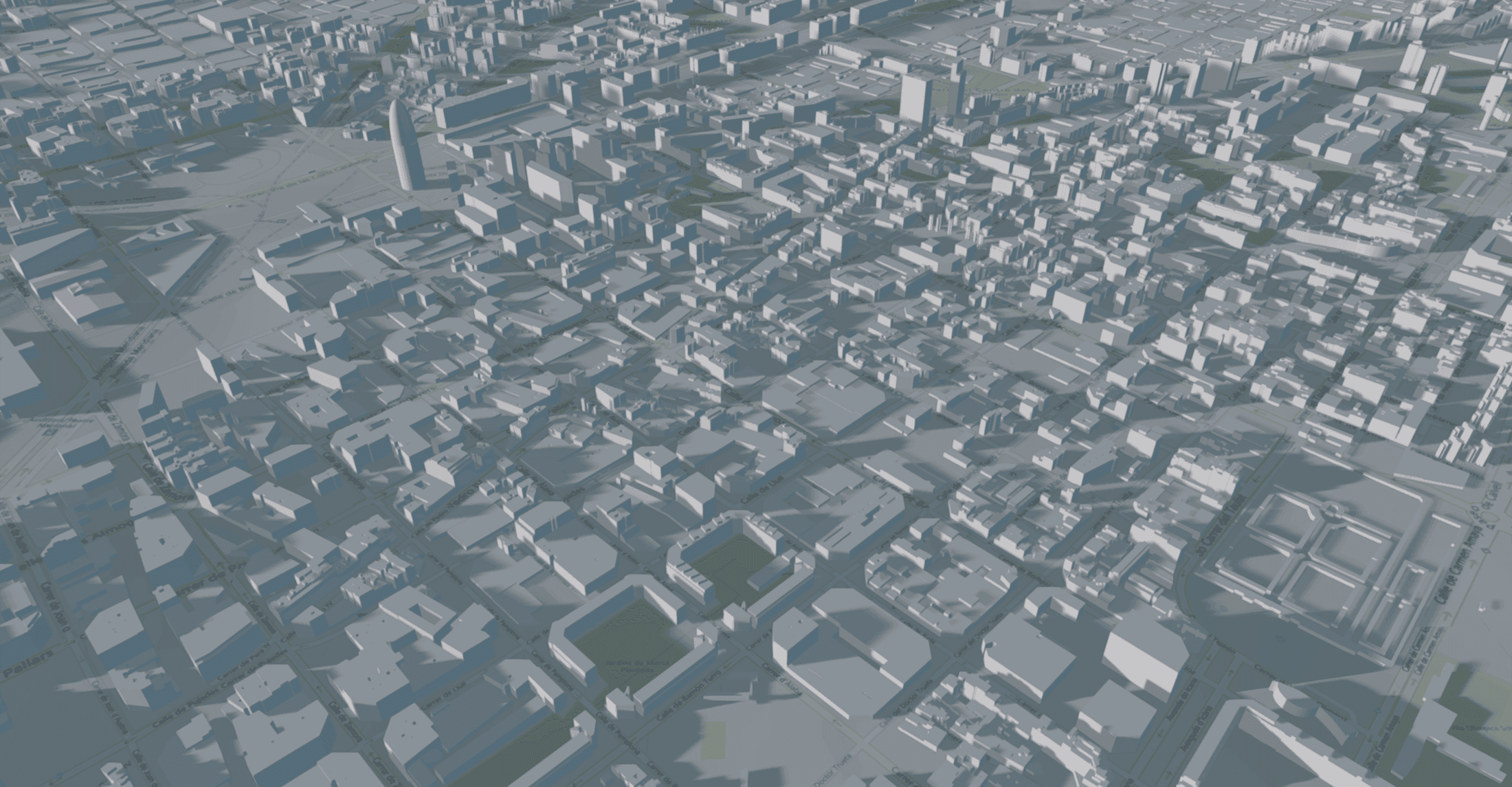
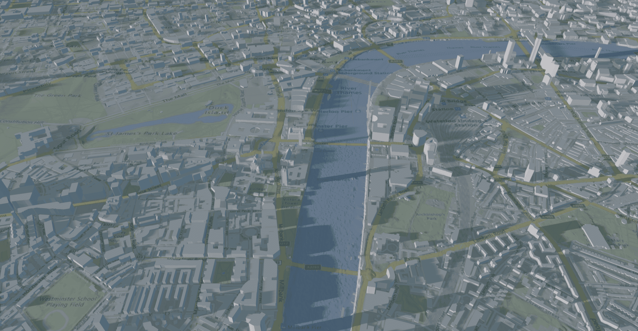
- Seamless Data Integration: It connects directly to Cesium ion, a curated source of global 3D content, giving you instant access to world terrain, high-resolution satellite imagery, and 3D city models.
- Based on the 3D Tiles Standard: The addon is built around the OGC 3D Tiles format, an open standard designed specifically for streaming large-scale heterogeneous 3D geospatial datasets.
- Built-in Geocoding Services: With integrated support for Azure Maps, you can easily implement geocoding features, allowing users to search for real-world addresses and locations, and then fly the camera directly to those coordinates on the globe.
- Dynamic and Accurate Sun Lighting: The addon includes components to simulate realistic lighting conditions. You can create a dynamic sun that accurately changes its position based on the time of day and the camera’s location on the globe, adding a layer of realism to your simulations.
- Intuitive World Navigation: A specialized world camera controller is provided, offering an intuitive “fly-to” experience for navigating a spherical environment, making it easy for users to explore your scene.
Beyond Viewing: Placing Your Content on the Globe
A dynamic world globe is a powerful foundation, but it’s true value is unlocked when it becomes a canvas for your own data and creations. A digital twin, after all, isn’t just a map; it’s a living representation of a real-world environment, populated with unique assets and information.
Recognizing this, we have equipped Evergine.Cesium with a straightforward, component-based workflow for placing your own 3D models onto the globe with geographic precision. This process, known as georeferencing, is handled by intuitive tools within the addon.
For the developer, the workflow is simple. You can take any 3D model that has been imported into your Evergine project and, by adding a specialized component, anchor it to a precise real-world location. You simply specify the latitude, longitude, and altitude, and Evergine.Cesium handles all the complex transformations required to place and orient the object correctly on the curved surface of the Earth.
This capability is essential for a wide range of applications. You can now:
- Populate a city with custom building models for architectural visualization.
- Place models of vehicles, ships, or aircraft for advanced logistics and traffic simulations.
- Display animated 3D markers at the locations of IoT sensors to visualize real-time data feeds.
- Build detailed digital twins of industrial sites, such as wind farms or factories, within their larger geographical context.
Note: For a large number of custom assets that need to be streamed efficiently, it is better to process them as a custom 3D Tileset and host them on Cesium ion.
This set of tools elevates Evergine.Cesium from a simple world viewer to a true interactive platform for building rich, data-driven geospatial applications.
A Game-Changer for Geospatial Development in .NET
The key advantage is the creation of a unified, end-to-end C# workflow. You can now build, test, and deploy sophisticated global visualization applications without leaving the comfort of your favorite .NET tools and libraries. This seamless integration means you can combine a stunning, interactive 3D globe with complex user interfaces built using familiar frameworks like MAUI, Avalonia, or WPF, making it ideal for data-heavy industrial and enterprise applications.
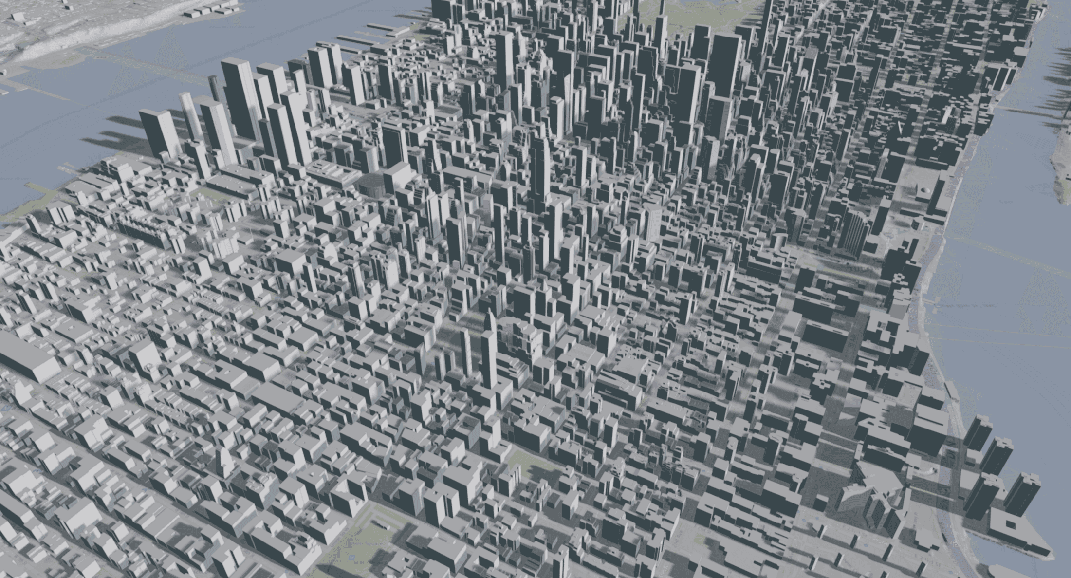
Furthermore, this addon allows you to create powerful synergies with Evergine’s other capabilities. Imagine combining a globally aware digital twin with Evergine’s support for large-scale point clouds or rendering high-resolution photogrammetry data from 3D Tiles alongside precise CAD models from industrial formats. By adding world-class geospatial rendering to the existing feature set, Evergine.Cesium doesn’t just add a feature; it unlocks entirely new categories of applications that can be built, from the ground up, in C#.
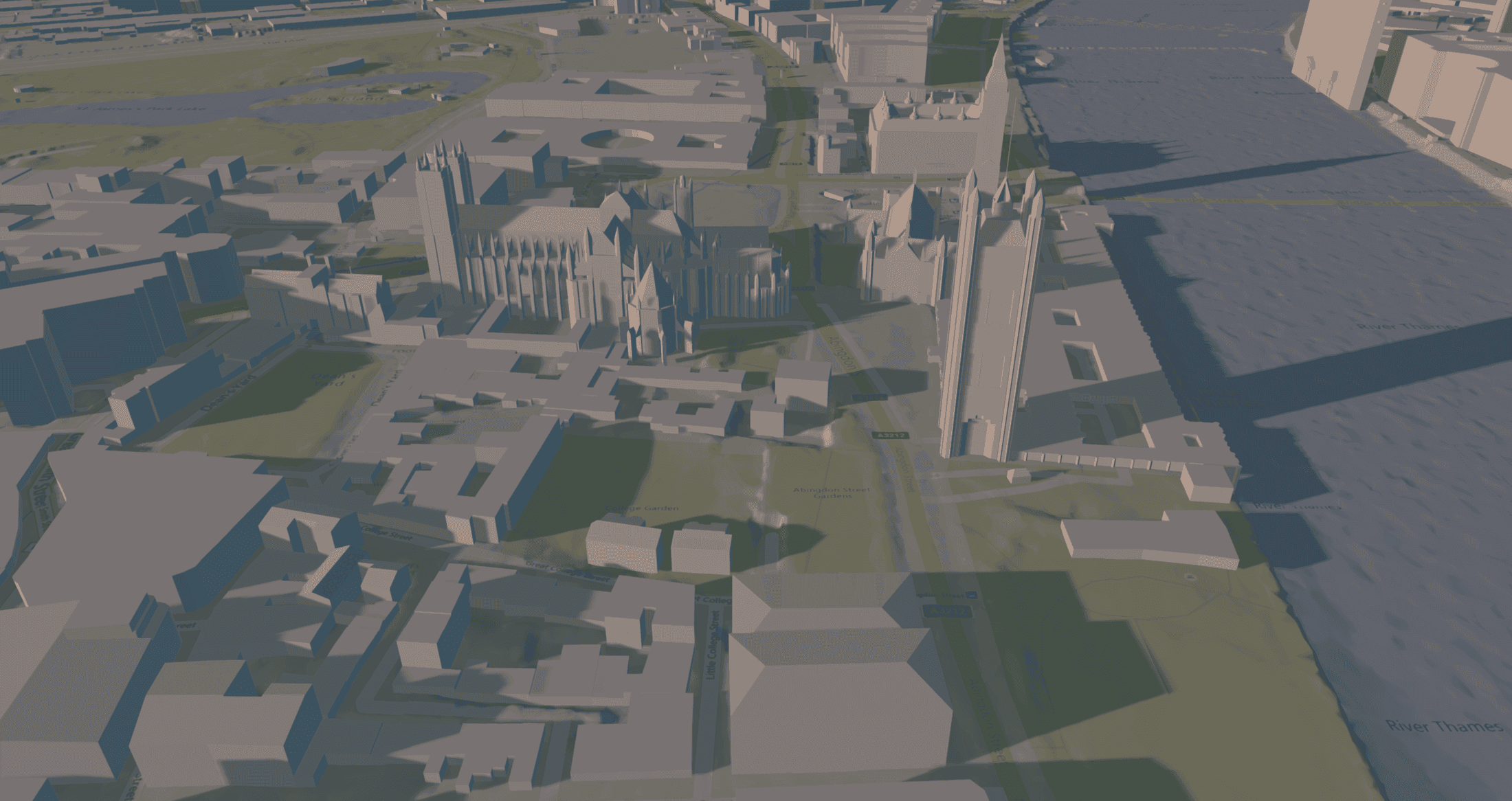
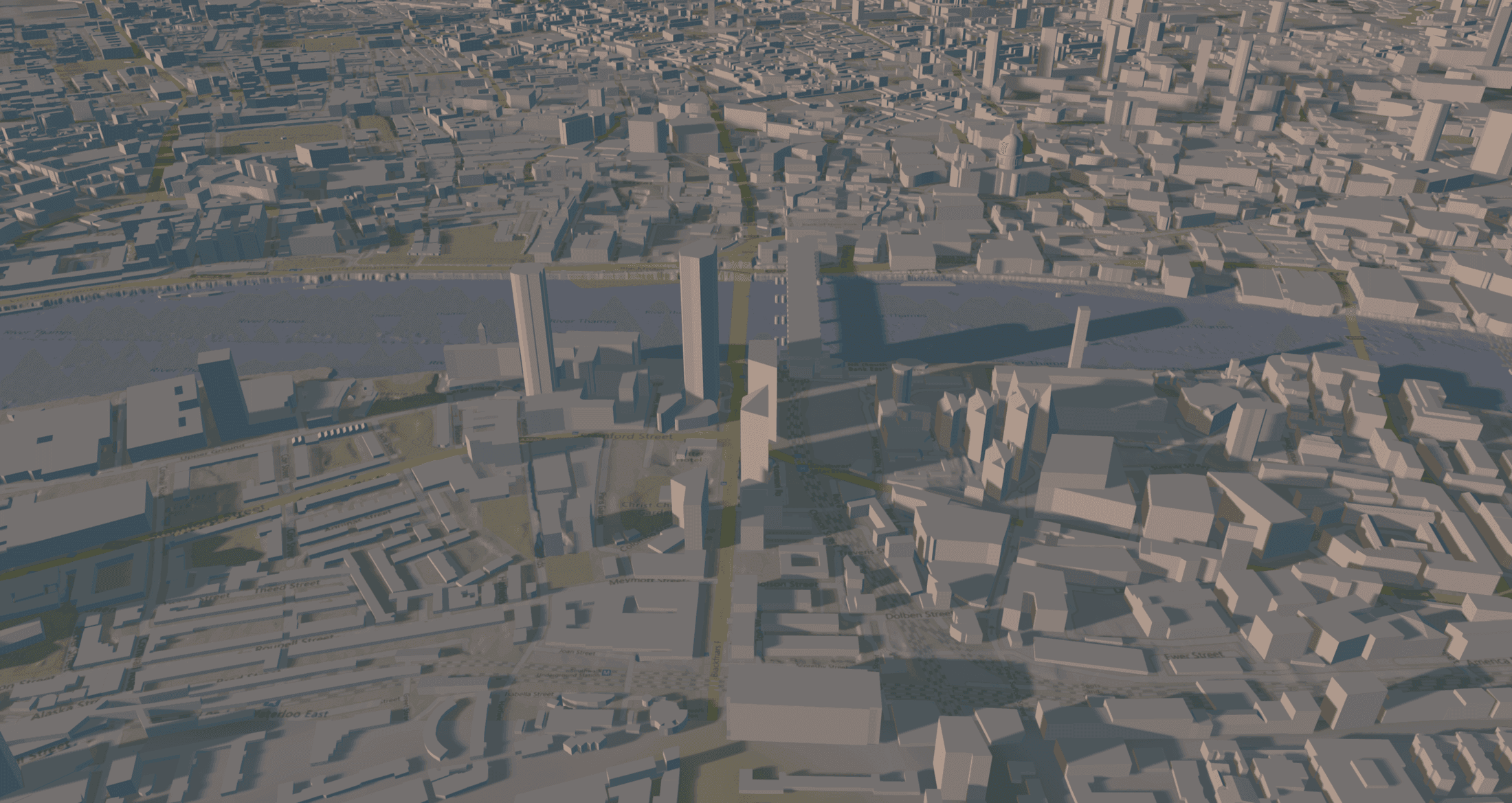
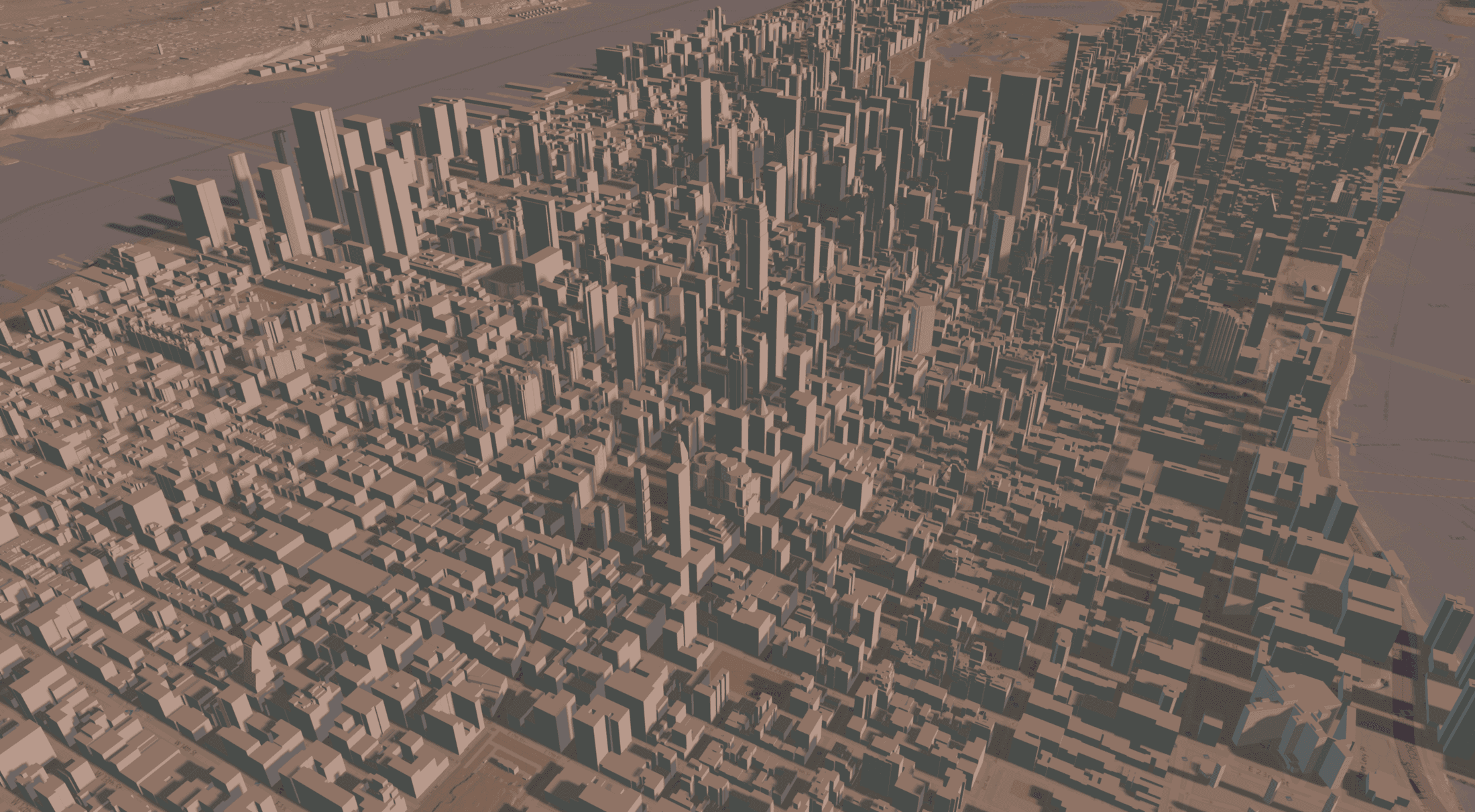
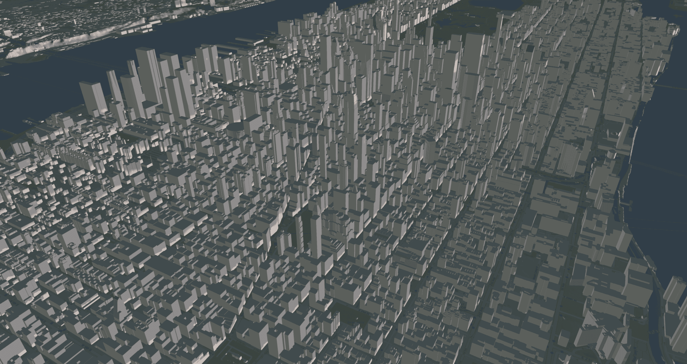
Getting Started
Ready to bring the world into your project? Integrating Evergine.Cesium is designed to be a straightforward process.
First, ensure you have Evergine and the .NET 10 SDK installed. Then, simply add the Evergine.Cesium NuGet package to your Evergine project.
From there, you can initialize the entire system by registering the CesiumCoordinator as a manager in your scene. This central manager handles everything from connecting to data sources to setting up the globe’s appearance. The example below shows a typical setup, where we configure a Cesium ion token and set the base imagery to Bing Maps Aerial.
using Evergine.Cesium;
using Evergine.Framework;
using Evergine.UI;
public class MyScene : Scene
{
    public override void RegisterManagers()
    {
        base.RegisterManagers();
        // The CesiumCoordinator manager requires an entity tagged as "MainCamera" with a Camera3D component.
        var cesium = new CesiumCoordinator()
        {
            AccessToken = "<YOUR_CESIUM_ION_TOKEN>",
            AzureMapsKey = "<YOUR_OPTIONAL_AZURE_MAPS_KEY>",
            EntityManager = this.Managers.EntityManager,
            OverlayProvider = TerrainOverlayProvider.BingAerial,
        };
        this.Managers.AddManager(cesium);
    }
}
With this simple setup, you now have a fully interactive, beautifully rendered 3D globe in your application. It’s the perfect starting point for you to begin building your world.